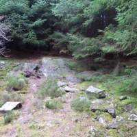
Quarry
Dublin Core
Title
Quarry
Description
There are two quarries on the Bennachie colony - the one you can see here and another about 50 m north in the woods.
This quarry is shown on the Ordnance Survey 25" map surveyed in 1866-7. An earlier map produced in 1844, for division of the commonty, does not show either quarry, and both are missing from the 1899 revision when the crofts are shown unroofed. This would imply they were in use during the life of the colony and so presumably worked by the colonists.
Type
Museum
Identifier
11
Spatial Coverage
current,57.28634934902426,-2.517094910144806;
Museum Item Type Metadata
Heritage Type
Tour
Citation
“Quarry,” Bennachie, accessed December 13, 2025, https://digitalbennachie.org/omeka/items/show/25.
Embed
Copy the code below into your web page
